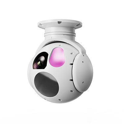
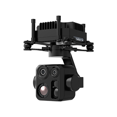
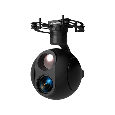
This solution is built on Taking Technology’s electro-optical gimbal product series to establish a long-endurance intelligent inspection system tailored for river and lake ecological protection and compatible with VTOL fixed-wing UAV platforms. The pod integrates an uncooled infrared TI and a high-magnification EO camera, with an optional laser rangefinder. It features AI target recognition and automatic tracking functions. When mounted on UAVs, the system enables regular flights over rivers and lakes to conduct day-and-night, large-scale, multi-spectral collaborative monitoring of water bodies, riparian vegetation, organisms and abnormal human activities. It provides a comprehensive, high-efficiency space-borne sensing method for ecological assessment, illegal activity monitoring and disaster early warning.
Biodiversity Monitoring and Recording: With the coordinated operation of EO and infrared cameras, the system remotely monitors key species such as migratory birds and aquatic mammals without disturbance during active periods like dawn and dusk, recording their population, activity ranges and habitat conditions.
Pollution Source Identification and Emergency Response: Infrared detection pinpoints areas with abnormal temperatures (such as illegally discharged industrial wastewater). The high-magnification EO zoom captures clear photos and video evidence of pollution sources. Automated inspection routes can be configured to carry out high-frequency inspections of key industrial parks or tributary confluences.
Supervision of Illegal Fishing and Sand Mining: During night patrols, the infrared TI efficiently detects vessels and human activities on the water surface. AI recognition automatically filters and tracks illegal operation targets, linking with law enforcement authorities for subsequent disposal.
Wetland Change and Shoreline Dynamic Analysis: Periodic high-resolution EO imaging monitors macro ecological changes including wetland vegetation coverage, variations in water area, shoreline erosion and human encroachment, and generates long-term monitoring reports.
Disaster Early Warning and Environmental Patrol: Panoramic imaging combined with data analysis helps assess the impacts of natural disasters such as droughts and floods on wetland ecosystems.
A national wetland nature reserve has introduced 3 sets of VTOL fixed-wing UAV systems equipped with TX130TA electro-optical gimbal for ecological patrol and protection. During dusk, the Gimbal’s AI recognition capability successfully locked onto a heat signature from a suspicious person active within the core protected zone and tracked the target automatically. The 33× EO zoom confirmed that the individual was deploying illegal fish traps. Meanwhile, the laser rangefinder measured the precise distance from the UAV platform to the target in real time. Inspection data was transmitted live back to the command center. Ground patrol staff quickly arrived at the site for disposal based on the accurate location information.
The system enables timely detection and effective intervention against poaching activities. Its non-contact monitoring mode greatly reduces human disturbance to the pristine wetland environment and protected species, improving patrol efficiency and scientific performance. The infrared images acquired during this patrol were also used to analyze hotspots of nocturnal waterbird habitat distribution.